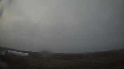
Peachland › Est: Highway 97C (Okanagan Connector) about 22 km west of Highway 97 and Highway 97C Junction, looking east
![]() Peachland, Canada
Peachland, Canada
Real-Time Environment
Welcome to the live streaming webcam for Peachland › Est: Highway 97C (Okanagan Connector) about 22 km west of Highway 97 and Highway 97C Junction, looking east, perfectly situated in the vibrant region of Peachland, Canada. Watching this live camera allows you to instantly experience the local atmosphere and monitor current climate conditions.

About Peachland
Peachland is a district municipality in the Okanagan Valley on the west side of Okanagan Lake in British Columbia, Canada. It was founded in 1899 by John Moore Robinson, although the region had long been home to the Okanagan people. Peachland is approximately half-an-hour's drive south of the city of Kelowna and about a 20-minute drive north of Summerland. The Okanagan Valley is very narrow in the area and there are few terraces that mark former lake levels and the former lake bottom. As a result, the city is largely located on a steep sidehill. Like many other areas in the Okanagan, Peachland is rapidly growing, with new residents coming from all across Canada. Across the lake from Peachland is Rattlesnake Island, home of the legendary Ogopogo. Peachland is approximately 370 km from Vancouver, British Columbia, on the British Columbia south coast.
📖 Read more on Wikipedia📍 Location Facts
-
Country
 Canada
- Region Columbia Britannica
- City Peachland
- Coordinates 49.8697°N, -119.9370°E
Have you been to Peachland?
Help the community! Share your experience, tell us about the weather, or upload your own photos from this exact location.