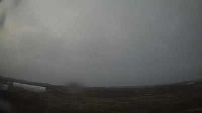
Tete Jaune Cache › Est: Highway 16 at Highway 5 junction, looking east
![]() Tete Jaune Cache, Canada
Tete Jaune Cache, Canada
Real-Time Environment
Welcome to the live streaming webcam for Tete Jaune Cache › Est: Highway 16 at Highway 5 junction, looking east, perfectly situated in the vibrant region of Tete Jaune Cache, Canada. Watching this live camera allows you to instantly experience the local atmosphere and monitor current climate conditions.

About Tête Jaune Cache, British Columbia
Tête Jaune Cache is an unincorporated rural area and the site of an important abandoned historic town in British Columbia, Canada. Its population is approximately 500. It is on the Fraser River in the Robson Valley at the intersection of Yellowhead Highways 5 and 16. Tête Jaune Cache is located 18 km (11 mi) north of Valemount, 101 km (63 mi) west of Jasper, Alberta, 241 km (150 mi) southeast of Prince George, and 332 km (206 mi) north of Kamloops, British Columbia, via the highways.
📖 Read more on Wikipedia📍 Location Facts
-
Country
 Canada
- Region Columbia Britannica
- City Tete Jaune Cache
- Coordinates 52.9758°N, -119.4221°E
Have you been to Tete Jaune Cache?
Help the community! Share your experience, tell us about the weather, or upload your own photos from this exact location.